Download on Amazon.com; Barnes and Noble.com; Kobo.com and on Google Play. Search William J. Conaway.
An excerpt from my:
Driving Adventure of Michoacán:
Touring the Tarascan Empire
Michoacán and the Western Central Region of México
The wildly beautiful State of Michoacán is a zone of contrasts. Enormous mountain systems cover nearly half of its territory. And huge valley systems stretch along the mountain’s flanks.
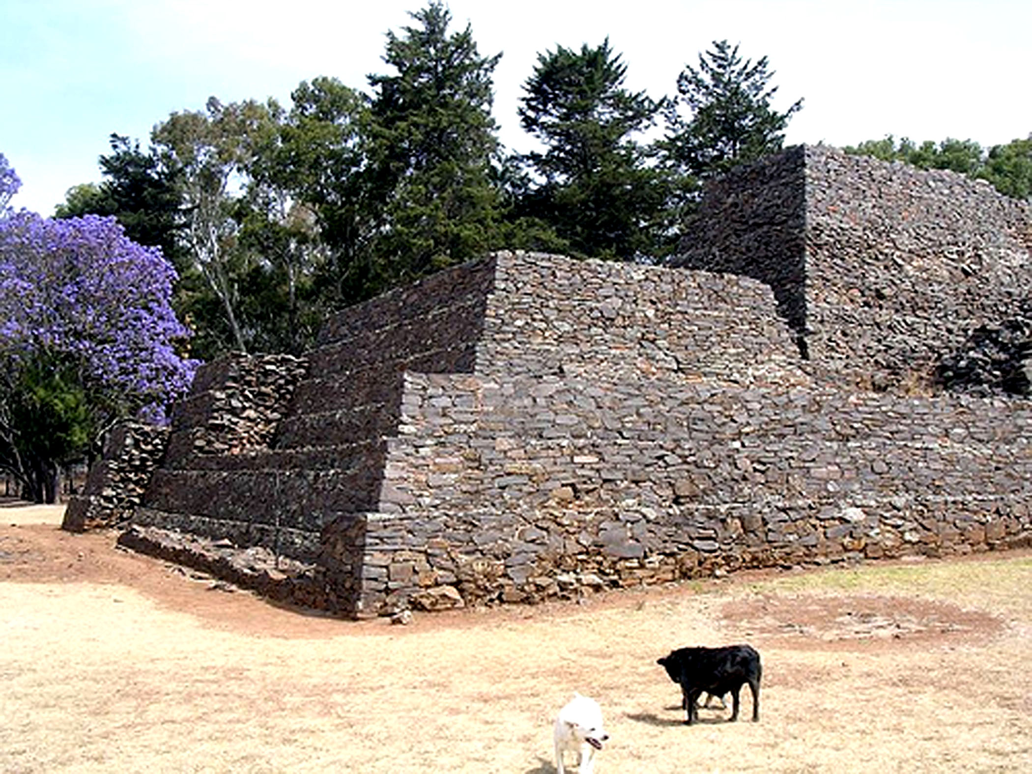
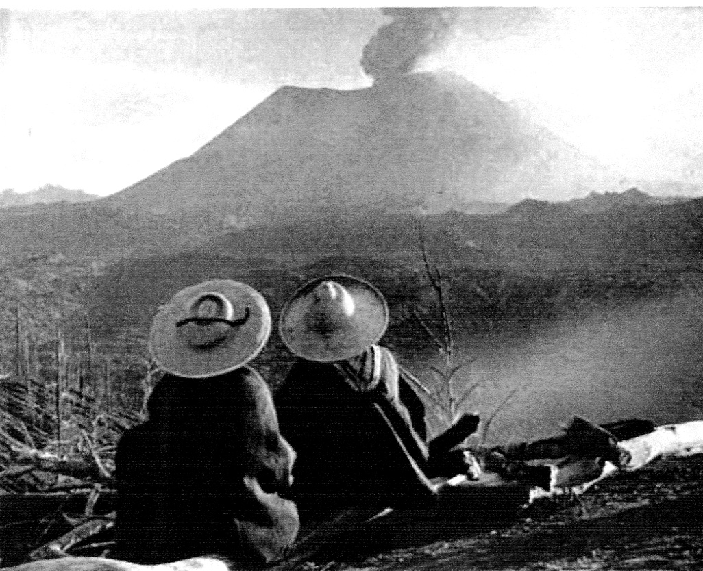
On a map you could divide the State into four horizontal strips. In the north, arid zones abut the temperate plains of the high plateau. Further to the south is the heavily forested, Sierra de los Volcanes, made up of high mountains, volcanic cones, and lava fields, and contains the famous Mexican volcanoes of Paricutín, Popo, Ixtla, and the Nevada de Toluca which abuts the arid tierra caliente. Further south is the Sierra Madre del Sur mountain range and beyond that is the tropical coast. These diverse climates and vegetation in relatively short distances created a very distinct variety of societies all within the Tarascan Empire.
A large strip of temperate plains stretches along the Río Lerma and its tributaries from Guadalajara to Querétaro, and another one formed of ancient lake bed covered with volcanic ashes stretches from Zacapu to Morelia and on to Acambaro. The natural fertility of these valleys, known as the Bajío, has been improved with extensive irrigation. In 1785, it was known as the Valle de los Chichimecas. Now it is the breadbasket of México growing most of the grain consumed in the entire Republic. A large part of the Bajío is located in the modern State of Michoacán.
South of the Bajío is the Sierra de los Volcanes an area rich with minerals and precious metals. A belt of active volcanism in South Central México, the western end of which is located in Michoacán. (There were no Spanish settlements in this area of high mountains until late in the XVIII century.)
The Tarascan Indians mined copper and gold from the Sierra de los Volcanes and the Spaniards followed suit. The farming and herding done in this area because of the porosity of the subsoil, depends on rainfall, and is subject to freezes during the appropriate months. Also important in the region is forestry, and the related occupation of carpentry which includes the fabrication of furniture, toys, and even musical instruments.
The volcanic, mountainous belt divides the Bajío from the Balsas-Tepalcatepec depression, «el fondillo del mundo,» mostly an impenetrable wilderness, except for the areas south of Uruapan which were/are used for limited agriculture and animal husbandry. To the south is the Sierra Madre del Sur which blocks the humid coastal air and rain. Making this depression in between the mountain ranges an unbearable place for human activity, «hostile even to the devil».